Explore by Region
Select a geographic region to view local streamflows, reservoir levels, and snowpack conditions.
Northern Sierra / Trinity
The Northern Sierra Nevada region feeds major rivers like the Feather, Yuba, and American rivers. These watersheds are critical for California water supply, relying heavily on snowpack accumulation and spring runoff into key reservoirs.
Central Sierra
The Central Sierra region, encompassing rivers like the Tuolumne and San Joaquin, is characterized by steep granite canyons and massive high-elevation snowpack. This region provides water for vast agricultural areas and the Bay Area.
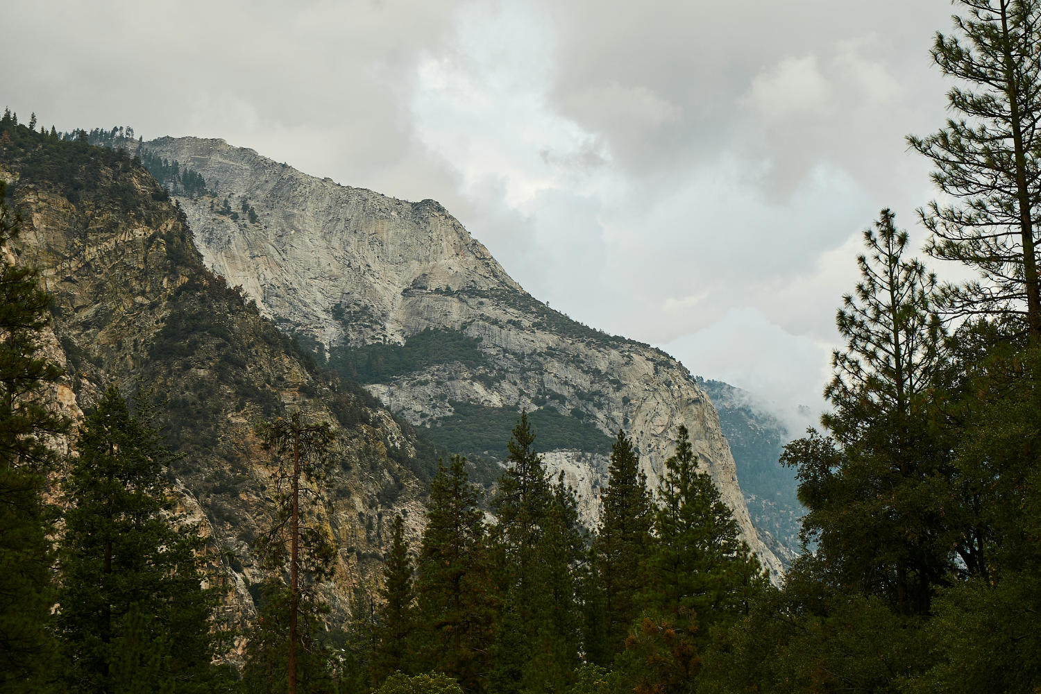
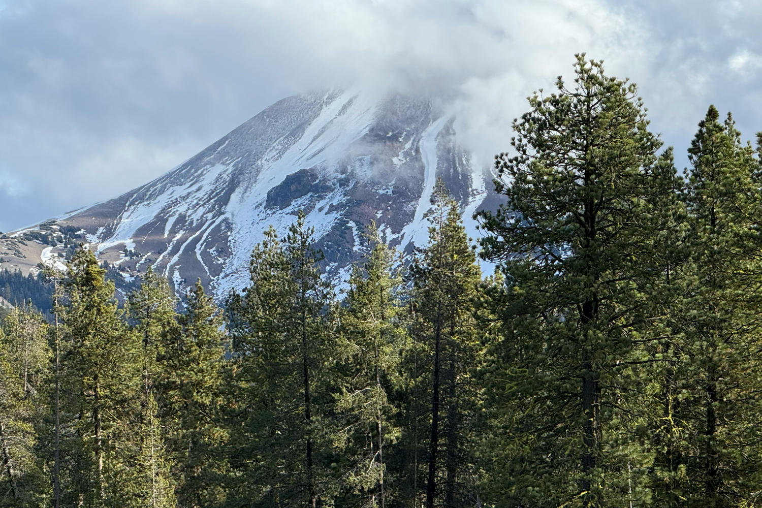
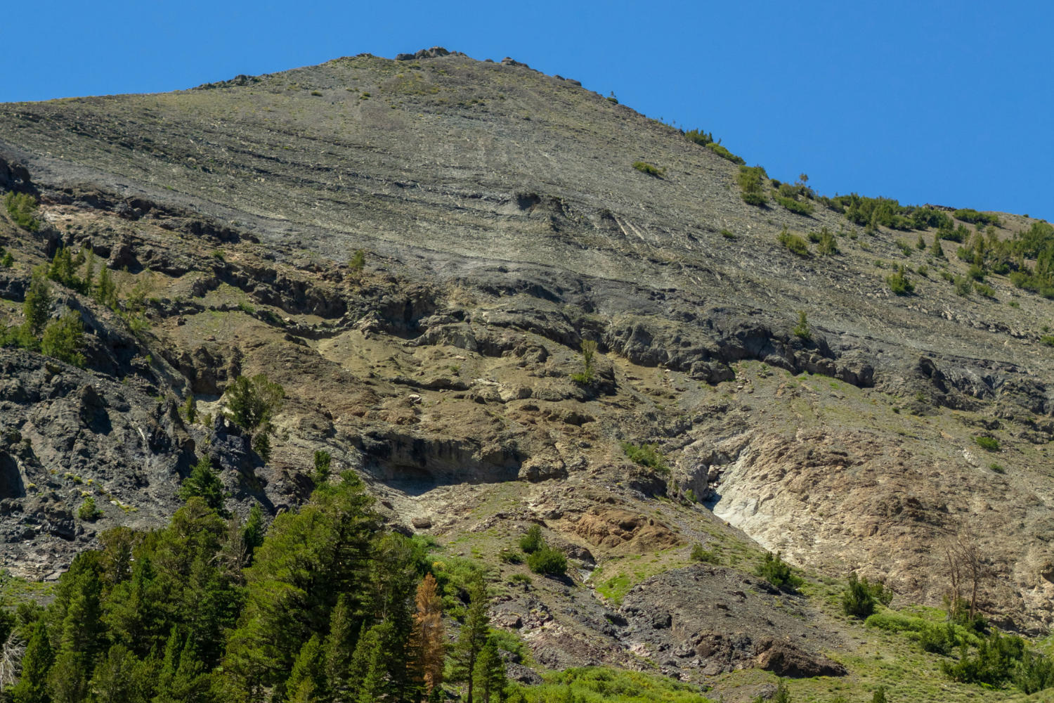
Southern Sierra
The Southern Sierra features towering peaks and deep river valleys including the Kings, Kaweah, and Kern rivers. Stream flows here are highly dependent on snowmelt and exhibit dramatic seasonal fluctuations.
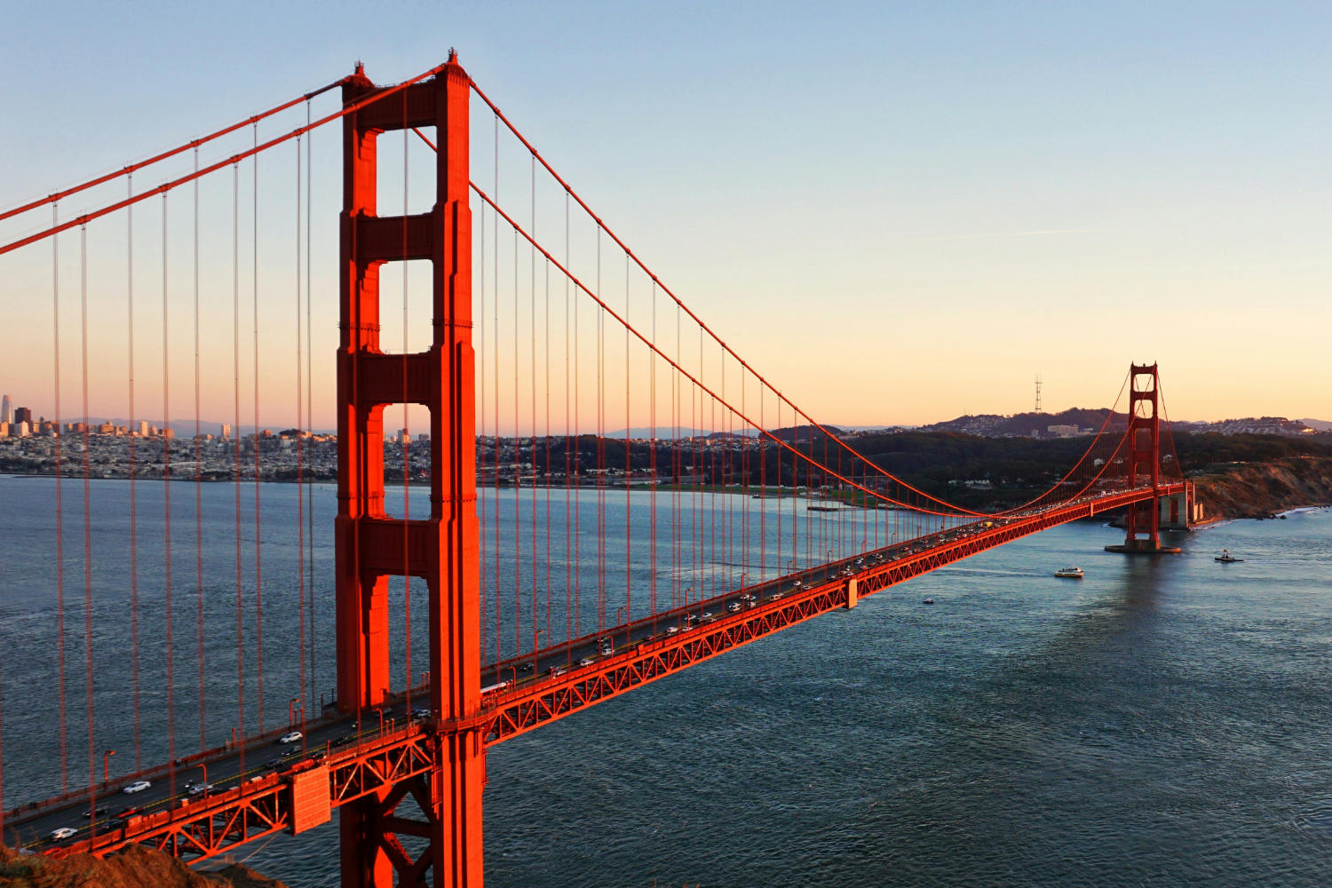
Bay Area
The Bay Area and Delta region is the hub of California water movement. Local streams respond rapidly to winter atmospheric rivers, while the Delta channels funnel Sierra runoff to the ocean and major aqueducts.
Northern Coast
The Northern Coast includes free-flowing giants like the Klamath, Smith, and Eel rivers. This wet, heavily forested region sees immense winter flows and is a vital stronghold for wild salmon and steelhead.
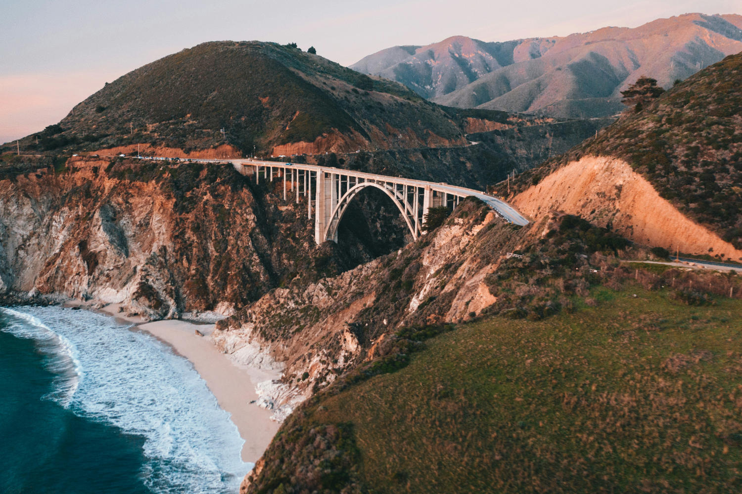
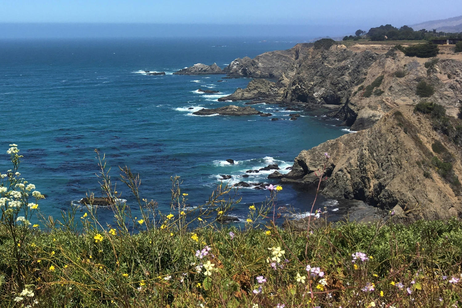
Central Coast
The Central Coast region features rivers like the Salinas and Carmel. Stream flows are typically flashy, responding quickly to winter rainfall, with many smaller creeks drying up completely during the dry summer months.
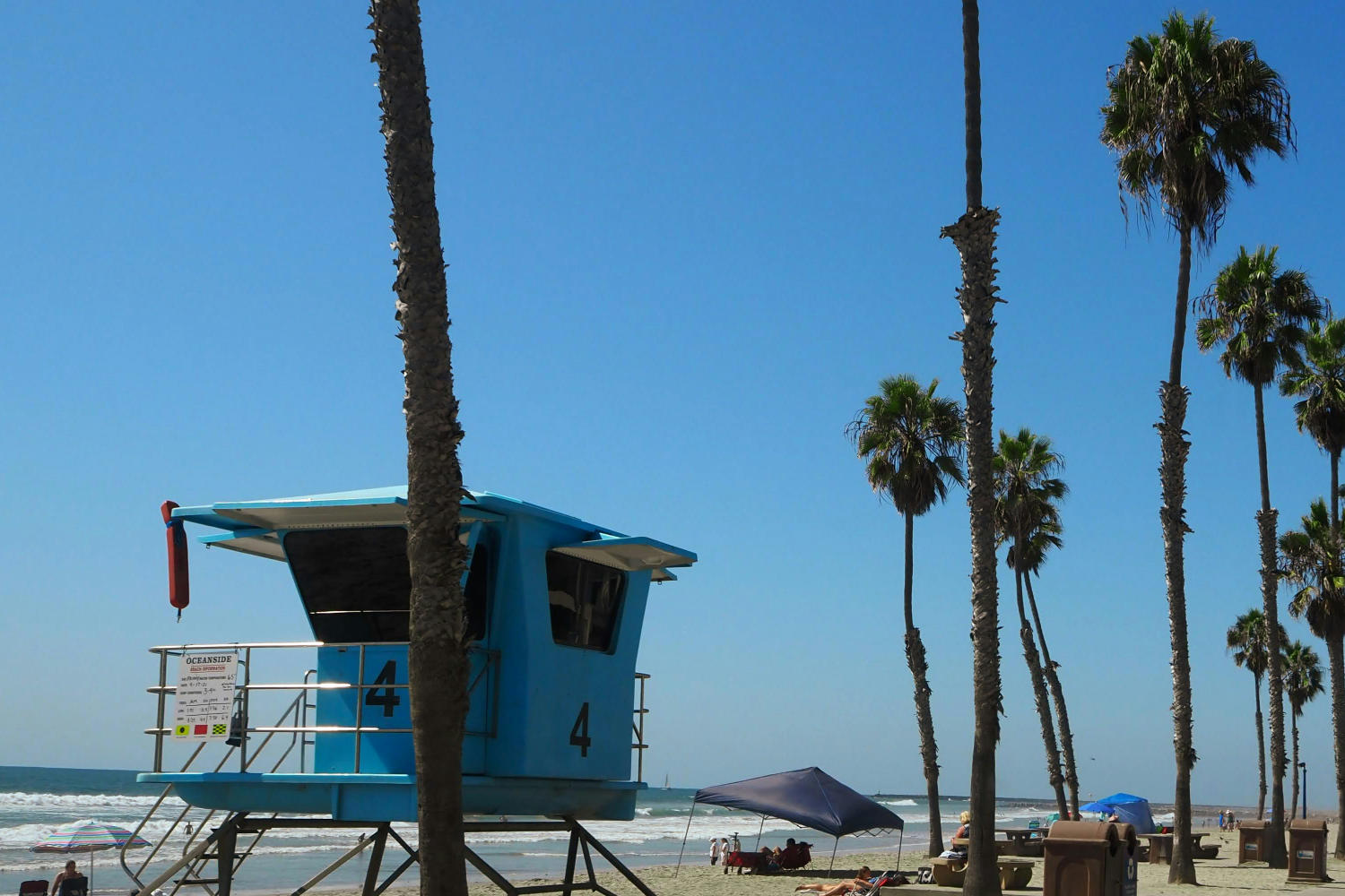
South Coast
The South Coast region, including the Los Angeles and Santa Ana river basins, consists of heavily urbanized watersheds. Natural flows are highly ephemeral, responding violently to intense winter storms and remaining dry most of the year.

Sacramento Valley
The Sacramento Valley forms the northern half of the Central Valley. Its major rivers are heavily regulated by dams but support extensive agriculture and crucial wetland habitats for migratory birds.
San Joaquin Valley
The San Joaquin Valley relies on Sierra runoff and groundwater. The rivers flowing onto the valley floor are intensely managed for agricultural irrigation, often running dry in their lower reaches during summer.
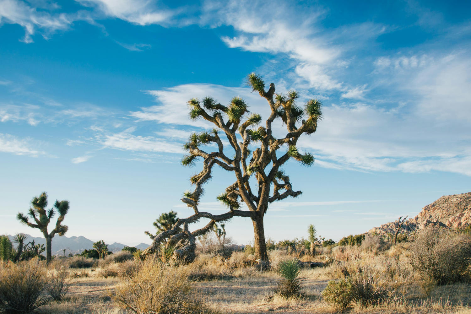
Desert / Great Basin
The Desert and Great Basin regions lie east of the Sierra crest and in Southern California. Water here is scarce, with streams primarily fed by snowmelt from the eastern Sierra or intense, isolated desert thunderstorms.